
Geospatial Insight, a prominent provider of clean energy geospatial solutions in the UK, and Zapmap, the UK's leading charge point mapping service, have launched a new strategic collaboration. The partnership includes the integration of Zapmap data into LOCATE EV, the National Electric Vehicle Network Planning Platform.
LOCATE EV, known for its innovative approach that brings together critical datasets and intuitive functionality, is enabling Public Sector EV infrastructure stakeholders to build equitable and future-proofed charging networks. By incorporating Zapmap data, it will provide users with unparalleled insights into the current EV infrastructure landscape and help them identify rollout opportunities swiftly and efficiently.
Zapmap, a trusted name in the EV industry, is renowned for its comprehensive and up-to-date information on EV charging points. The integration of Zapmap data into LOCATE EV will equip users with a powerful tool to understand the existing EV infrastructure and optimise their network planning strategies.
Dave Fox, CEO at Geospatial Insight said:
“LOCATE EV has already helped a number of Local Authorities and commercial companies to accelerate their EV infrastructure plans and over 5.5 million people have already benefited from the platform being an integral part of this process.
"By leveraging Zapmap data and LOCATE EV functionality, users can navigate the complex landscape of EV network planning with ease, ultimately benefiting the entire EV ecosystem.”
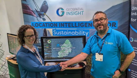
Jade Edwards and Ian Dee (Climate Applications Lead at Geospatial Insight) at the London EV Show
Jade Edwards, Head of Insights at Zapmap said:
“We know that the most crucial aspect of building a public charging network fit for the future is getting the right type of charge points in the right places. LOCATE EV is a powerful tool enabling Local Authorities, Network Operators and site owners to pull together valuable data and plan infrastructure rollouts effectively.
"Having the Zapmap data as part of this tool is a key part of our strategy to make sure that we’re helping the industry to build the best network possible for the EV drivers of today and tomorrow.“
About Geospatial Insight
Geospatial Insight is Europe’s leading provider of intelligence and insight derived from the analysis of satellite imagery and other geospatial data, fusing these outputs with a range of other data sources to provide in-depth market insight and business analytics to clients in the energy, financial and insurance sectors.
Established in 2012 and headquartered in the UK, Geospatial Insight provides these unique intelligence services to clients around the world.
About Geospatial Insight Sustainability
With many stakeholders having pledged to meet carbon net zero by 2050, or even as soon as 2028 in some instances, an important step to achieving this is the widescale adoption of low carbon technologies and energy efficiency measures, but stakeholders across the globe are being held back by a lack of relevant, affordable, and verifiable data.
Geospatial Insight is tackling this issue by delivering actionable climate risk and mitigation intelligence sourced from remotely sensed imagery and location-based data, streamlining and simplifying the process of seeking out decarbonisation and offsetting opportunities.
From facilitating project aggregation to accelerating deployment, the intelligence created by Geospatial Insight assists with Renewable and Sustainable Energy Solutions, Sustainable Urban Mobility, and Emissions Detection and Monitoring.
For more information, please visit https://www.geospatial-insight.com/


